We left Joshua Tree only one day later than planned after figuring out how to get Mike a driver’s license. I had spent a lot of time researching what was open this time of year, where we could take the trailer and all that good stuff. I had read that snow was pretty much gone from the lower areas of Sequoia, but we would probably encounter some on hikes and planned our hikes according to the gear we had (boots and poles, but certainly not snow shoes).
We were maybe an hour and a half from our end point when I thought to look at the weather forecast. I had looked quickly before at the forecast for the nearest visitor center (General Grant Grove) and it had seemed ok – getting colder and some snow a couple of days, but we could manage that. But now I looked at the more detailed forecast and how the elevation of our campsite compared to General Grant Grove. The forecast now looked pretty bad – wind gust up to 70 mph one day, colder up where we would be with 3 inches of snow… and we did not have the required snow chains for our tires. Time to change plans. We decided we needed to stick to lower elevations for a few days and head up in a week after Mike’s next work days.
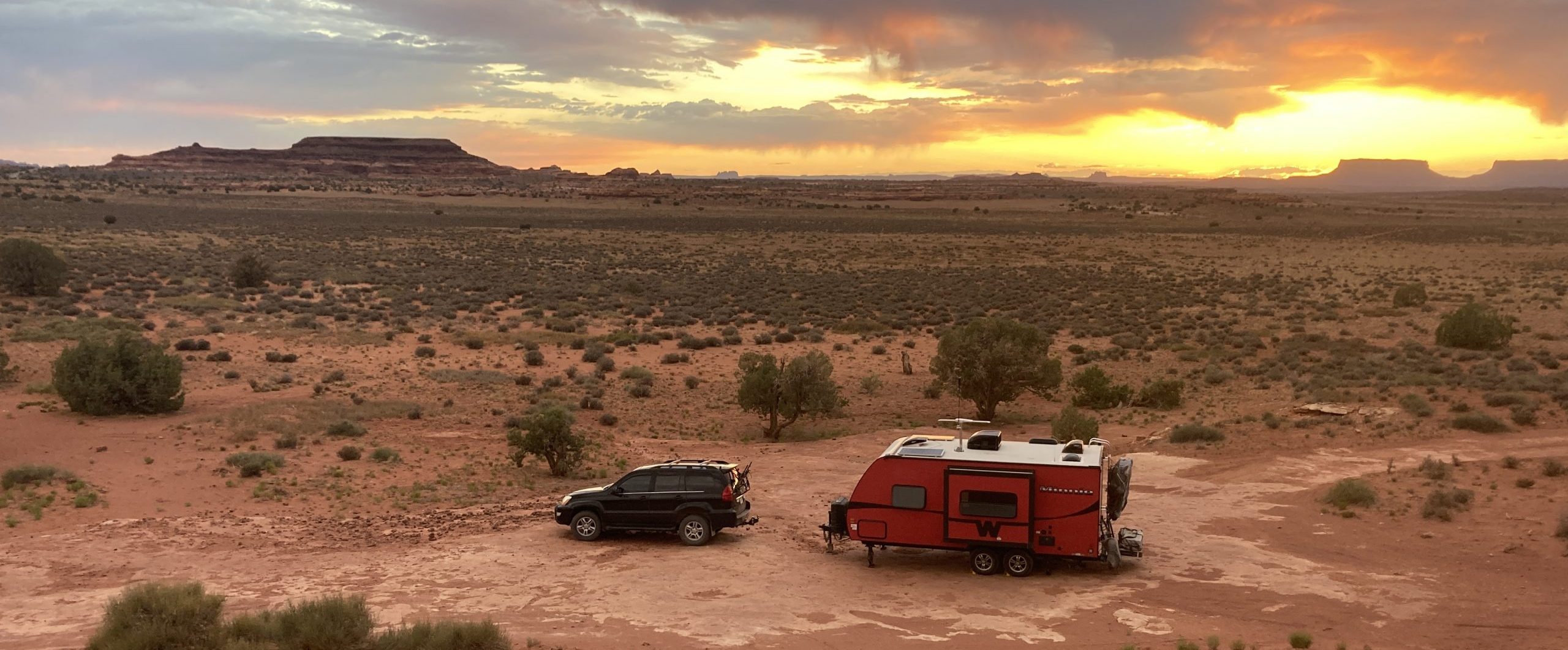
I scrambled trying to find anything that wasn’t too far away, looked appealing and didn’t cost a ton, all as Mike drove us along a tiny, steep and winding road toward Sequoia and then away. Cell signal was sketchy, but we eventually decided to drive back the way we had just come and head into the Sequoia National Forest to the south. Instead of 8000 feet, we would be under 5000, there would be no snow and milder wind. That all sounded great.


We really had to get used to driving in the mountains again, though. We drove 3 hours back the way we had come and headed east toward and then into the national forest. It was slow going on a curvy road and of course we didn’t fill up the gas tank when we had the chance because the distance to our destination was only about 40 miles away. Unfortunately, we were only going about 20 mph and it was all up. We made it to one of the first sites recommended on iOverlander and we stopped there. We were low on gas and a little stressed from the driving and changes in plans and were so grateful to just stop. And it was a beautiful site – a rocky mountain peak behind us, trees all around and a view across a valley to another tree-covered mountain… and only a few cow patties around us.


We had no cell signal and no real plans for a few days so we headed down the mountain to Lake Isabella for gas and a connection to plan our next move. We hit up a couple of stores (we love Grocery Outlet) and explored the river that ran through town and, when dammed, created the lake.


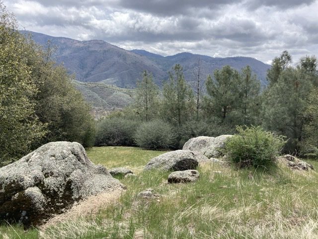
Back at our site, we spent quite a bit of time inside. The sun was not quite warm enough to counteract the wind and temperatures. I got out for a short exploration of the ridges around us and worked up a sweat making my way back up the ridges.


The night before we left, we heard light rain on and off and by the time we got up, it had changed to a mix of rain and snow. We packed up and crossed our fingers that we could get to the highway up the steep and rutted road that was now pretty wet too. The truck came through and we headed back down the mountain to make our way back north toward Sequoia National Park.