Disclaimer: The following couple of posts were written well after the adventures actually took place. I’m afraid some details were probably lost in the delay.
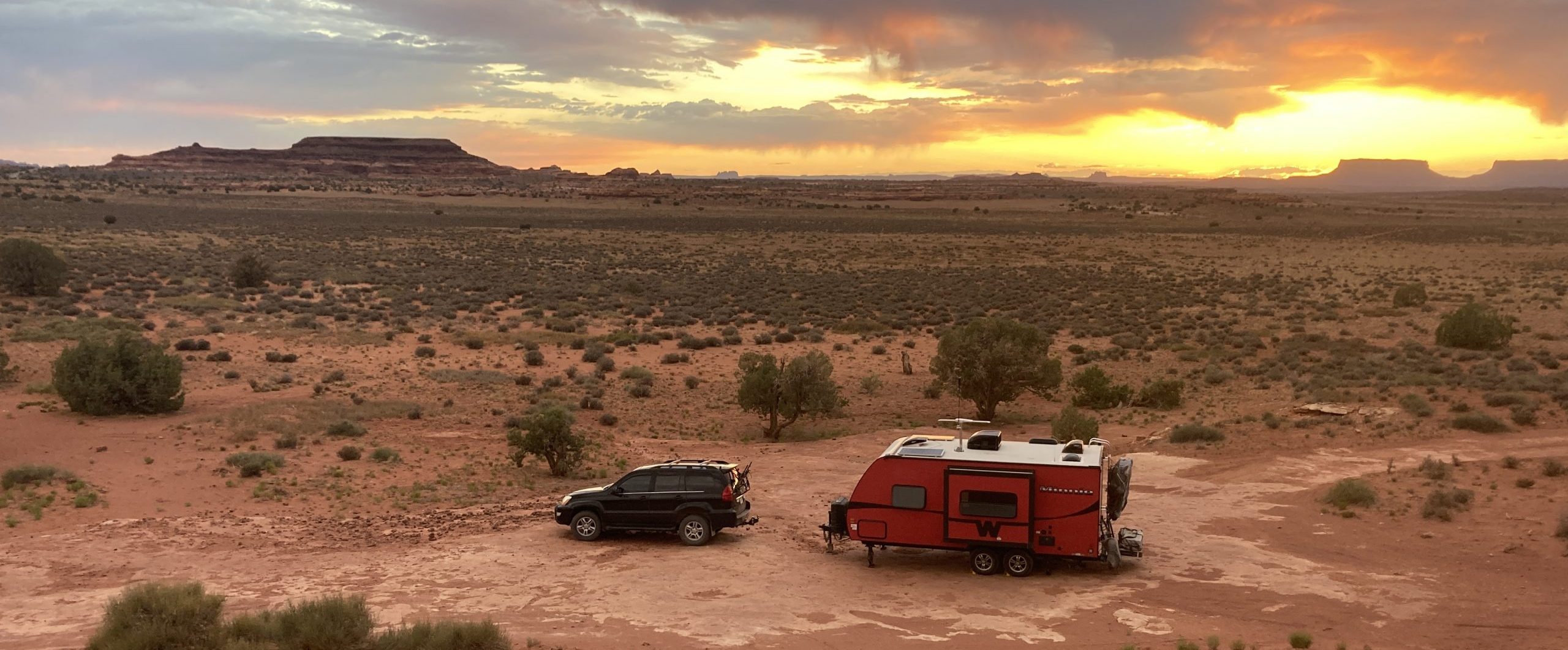
While the different sections of Canyonlands all abut one another, getting to each of them requires some travel. We headed north through Moab and then west toward Island in the Sky. We found a spot to park Scarlet outside the park on some BLM land and saved our first exploration for the next day.

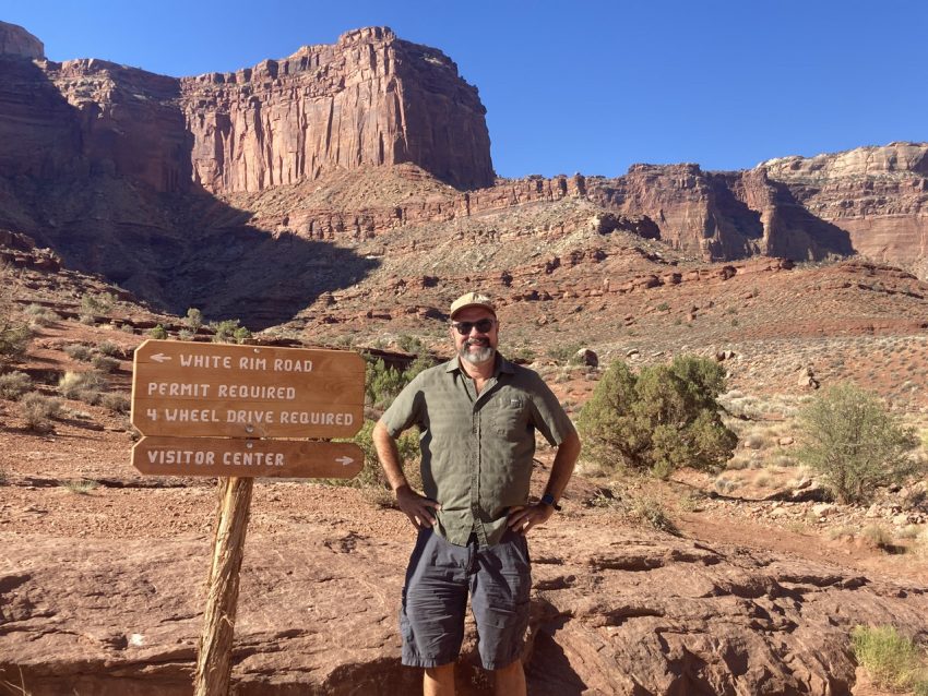
Island in the Sky is a mesa that overlooks canyons within canyons. I scored us a permit to drive down into the surrounding canyon on our first day there. The White Rim Road is 72 miles of 4×4 road that traverses the top of the White Rim Sandstone formation that forms the first layer of canyon below Island in the Sky. There are campsites along the road, but I was unable to get one, so we planned to head down and go part way along the road before turning around and heading back.
The first part of the trip was a descent into the canyon along Shafer Trail. While it looked a little harrowing, this wound up being one of the easiest sections. The switchbacks gave some great views and there were plenty of pullout to enjoy views and avoid other vehicles.


Now we were down on the White Rim Road and the challenge began! The ”road” got much more difficult as we progressed. It was pretty bumpy to start and we enjoyed getting out to walk a little at Gooseneck Overlook. We stopped at a couple of more viewpoints and wound up at Musselman Arch along with a group in a few Jeeps. We watched them take off before us and we got a sneak peek at what was ahead as we watched their tires go all over the place with their independent suspension.


We got A LOT of practice on driving on some crazy terrain – slick rock, giant boulders, and lots of other stuff.
One of the most enjoyable parts of the drive was our foray into Lathrop Canyon. This was a little side jaunt down into a lovely canyon that ended at the Colorado River. The only thing I worried about was encountering another vehicle on this road, but we had it all to ourselves.

This is the drop-in to Lathrop Canyon 


We were one of the very few non-Jeeps on the White Rim Road and we saw more cyclists than vehicles. It may have been easier to do on a bicycle than in a truck, but I still wouldn’t want to do it!


It took us about eight and a half hours to travel 72 miles and by the end we were switching drivers every 6-8 miles. It took a lot of concentration and focus to get across the difficult terrain, but it was a lot of fun. We managed to only bend one of the running boards on the drive, so we didn’t do too badly.
As we drove back to Shafer Trail and then went back up to the top of the mesa, we kept our eye on a big plume of smoke in the distance. Back when we had a cell signal, we learned that there was wildfire south of Moab and it impacted our plans a lot the next day.

We planned to head into Island in the Sky to do some hiking and take in some promised vistas. We were up well before sunrise, but could already tell that the smoke from the wildfire had made its way to us. We drove out to Mesa Arch to try to catch the sunrise and got there just after. We maneuvered around bunches of people trying to get the perfect shot of the sunrise through the arch, but we made due with the views around it. And we saw just how bad the smoke was going to be. We could see outlines of canyons, but that was just about all. Our hopes of vistas were dashed and Mike was not looking forward to spending too much time in smoke.


We made our way back toward the entrance to the park, stopping and viewpoints, but not being able to see much. I did one short hike and then we decided to cut our losses and go back to Scarlet to pack up and get out of the smoke.


